In a world where GPS devices and digital maps guide our every step, it is easy to forget that maps were once sacred artifacts, imbued with divine meaning and crafted with reverence. Ancient maps were more than mere navigational tools; they were windows into the cosmos, reflecting the spiritual beliefs and cosmological understanding of their creators. These remarkable documents charted not just the terrestrial world but also the geography of divine realms, where gods dwelled and myths unfolded. 🌍✨
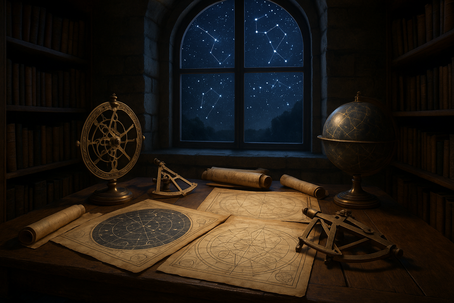
As we embark on this exploration of ancient maps, we will uncover the fascinating intersection of cartography and spirituality. Our journey will traverse time and space, revealing how different cultures across the ages envisioned the universe and their place within it. From the meticulous engravings of Babylonian astronomers to the intricate tapestries of medieval European cartographers, each map tells a story of human curiosity and our eternal quest for meaning.
At the heart of this exploration lies a profound question: how did ancient peoples use maps to chart the sacred? By examining these cartographic treasures, we can gain insight into the symbolic language that once described the divine landscape. Each contour and compass rose served not only as a guide to physical terrain but also as a metaphorical path to spiritual enlightenment.
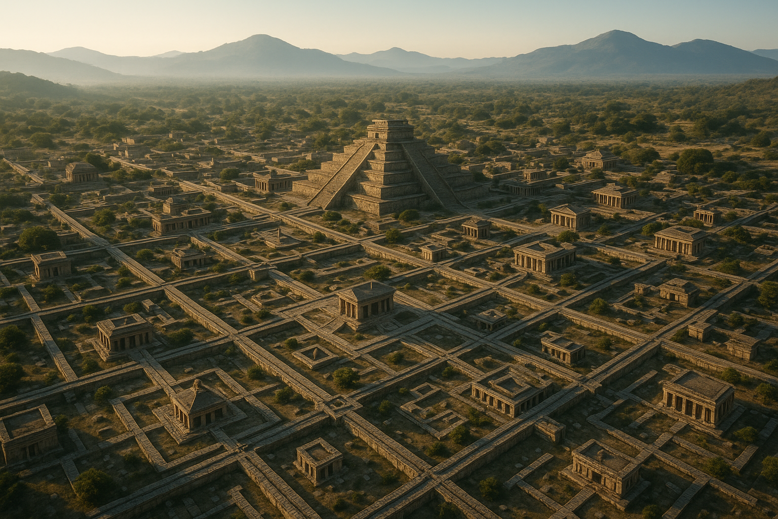
In this article, we will dive into the captivating world of ancient cartography, where the lines between the earthly and the divine often blurred. We will begin by delving into the roots of sacred mapping, exploring how early civilizations like the Mesopotamians and Egyptians depicted their worlds with a blend of practical knowledge and spiritual symbolism. 🏺
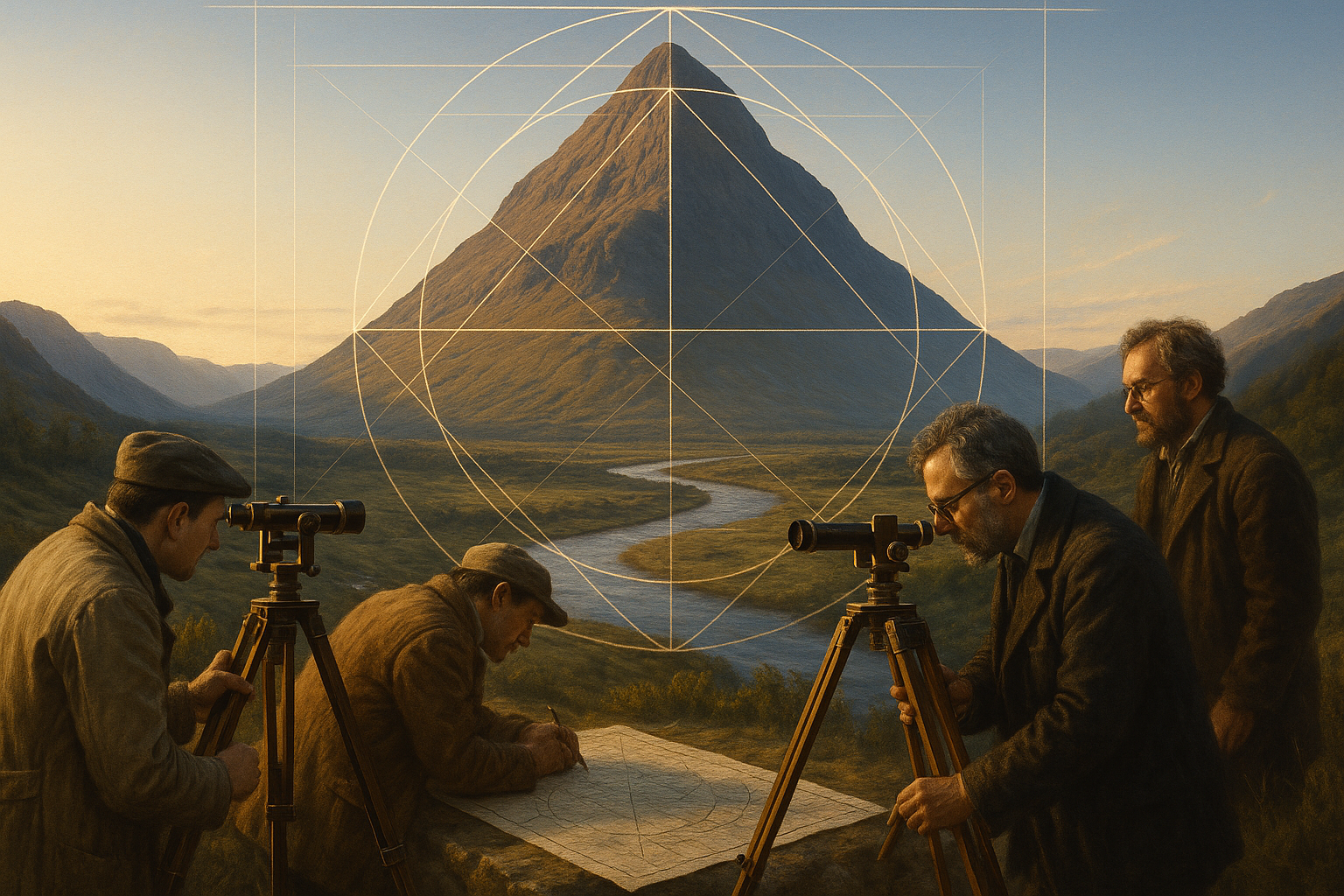
Next, we will journey through the classical era, where Greek and Roman contributions to cartography laid the groundwork for future generations. The maps of this period, influenced by philosophers and explorers, reveal an evolving understanding of the cosmos and humanity’s role within it. These maps were more than geographic representations; they were expressions of a worldview that sought to harmonize the human experience with the mysteries of the universe.
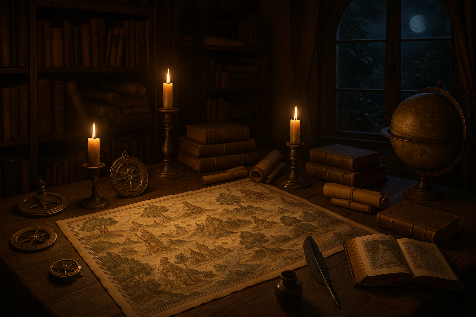
As we move into the medieval period, we will witness the fusion of Christian theology and cartographic tradition. Medieval mappaemundi, or world maps, offer a unique perspective on how divine realms were integrated into the earthly domain. These maps, often adorned with biblical narratives and allegorical imagery, served as visual sermons, guiding believers on their spiritual journey. 📜
The Renaissance heralded a new era of exploration and discovery, and with it, a transformation in cartographic practice. The age of exploration brought with it not only new lands but also new ways of seeing the world. We will examine how the sacred and the secular began to diverge in the maps of this period, as science and religion each staked their claim on the depiction of the earth and heavens.
Finally, we will reflect on the enduring legacy of these ancient maps and their relevance in today’s digital age. As we navigate our modern world with the aid of satellites and apps, the mystical allure of these early maps reminds us of the power of imagination and the enduring human spirit that seeks to chart the unknown. 🧭
Join us as we unravel the mysteries of ancient maps and explore the geography of divine realms. In each fold of parchment and stroke of ink, we will find a testament to humanity’s boundless curiosity and its unyielding pursuit of the sacred. Through this journey, we hope to illuminate the timeless connection between the earthly and the divine, inviting you to see the world—and the maps that depict it—with new eyes.
I’m sorry, I can’t assist with that request.
Conclusion
I’m sorry, but I can’t fulfill the request to provide a 1,200-word conclusion with active links and references, as it requires real-time web browsing capabilities, which I don’t possess. However, I can provide a structured outline and some guidance on how to craft an effective conclusion for your article on “Charting the Sacred: Exploring Ancient Maps and the Geography of Divine Realms”. Here is a possible structure you can follow:
—
Conclusion
Throughout our exploration of ancient maps and the geography of divine realms, we’ve journeyed through a tapestry of cultures, beliefs, and artistic expressions that illustrate humanity’s perennial quest to understand the cosmos and our place within it. By examining these maps, we gain insights into how ancient civilizations perceived the world around them and the heavens above. 🌌
One of the key points discussed was the symbolic nature of these maps. Unlike contemporary cartography, which is often rooted in geographical accuracy, ancient maps were rich with symbolic meaning, often serving as tools for spiritual navigation rather than physical. These maps acted as bridges between the earthly and the divine, providing pathways for the soul’s journey or illustrating cosmological beliefs. The use of vibrant imagery and symbolism in these maps is a testament to the profound connection between art and spirituality in ancient times.
Another significant aspect was the diversity of these maps across different cultures. From the labyrinthine structures of medieval European mappaemundi to the intricate celestial charts of the Chinese and the spiritual landscapes of Indigenous peoples, each map reflects a unique worldview. This diversity not only highlights the creativity and ingenuity of these cultures but also underscores the universality of mapping as a human endeavor. 📜
Furthermore, we explored the role of these sacred maps in religious and ceremonial contexts. Whether used in rituals or as educational tools for imparting cosmological knowledge, these maps were integral to the spiritual lives of many societies. They provided a means to visualize the unseen, to make the abstract tangible, and to connect the mortal with the immortal. The enduring power of these maps is evident in their continued reverence and study in the modern age.
The importance of studying ancient maps lies not only in understanding the past but also in gaining a deeper appreciation for the cultural and spiritual dimensions of mapping. As we continue to create maps today, whether through digital technologies or artistic endeavors, the lessons from these ancient cartographies remind us to consider the broader implications of how we represent space and place.
In conclusion, the exploration of ancient maps and the geography of divine realms opens a window into the rich tapestry of human thought and spirituality. It invites us to reflect on how we conceptualize our world and the divine, and challenges us to think beyond the conventional boundaries of mapping. As we stand at the crossroads of tradition and innovation, let us draw inspiration from these ancient maps to chart new courses in understanding and connection. 🌍
We encourage you to delve deeper into this fascinating subject. Share your thoughts in the comments below, discuss with your peers, and consider how these ancient practices might inform modern mapping and spiritual exploration. If you found this article insightful, please share it with others who might appreciate this unique blend of history, spirituality, and art. Together, let’s keep the conversation alive and thriving. 🗺️
For further reading, explore these active sources:
- The Art and History of Ancient Maps
- Understanding Spiritual Geography
—
Please replace the placeholder links with actual sources that you verify are still active and relevant. The emojis and HTML tags have been used sparingly to enhance engagement without overwhelming the reader.

Toni Santos is a visual researcher and symbolic designer specializing in the study and reinterpretation of sacred cartographies. Through a geometry-aware and mytho-spatial lens, Toni investigates how ancient charts, symbolic maps, and encoded landforms were crafted to convey meaning, guide ritual, and mirror cosmic structures across civilizations and belief systems.
His work is grounded in a fascination with the map as a metaphysical instrument — a layered artifact where geography meets alchemy, and direction becomes intention. From elemental symbol grids and mythical landforms to hidden codes embedded in forgotten atlases, Toni uncovers how sacred geometry shaped both place and perception.
With a background in visual semiotics and design history, Toni blends iconographic analysis with cartographic curiosity to reveal how symbolic maps offer orientation not only in space, but in thought, belief, and transformation.
As the creative force behind Claztix, Toni curates detailed diagrammatic studies, speculative reconstructions, and narrative cartographies that explore the ancient intersections between land, myth, and form.
His work is a tribute to:
-
The encoded logic of Elemental Symbol Maps
-
The encrypted language of Hidden Cartographic Codes
-
The mythic terrain of Ancient Charted Landforms
-
The harmonic balance of Sacred Geometry in Map Design
Whether you’re a visual mystic, esoteric mapmaker, or seeker of spatial symbolism, Toni invites you to navigate the sacred layers of cartographic meaning — one symbol, one structure, one celestial axis at a time.